Resources for election directors
Integrating GIS in election management can ensure accuracy, efficiency, and transparency in elections. But getting started and advancing the work can be challenging. Use NSGIC’s resources for election directors – developed with the help of GIS and elections experts – to help navigate the relationships, processes, and funding needed.
Getting started, building a coalition
Quickly get acquainted with the world of geo-enabled elections. Identify new relationships with subject matter experts that may be needed:
A GIO is a geographic information officer. Not sure if your state has a GIO? Try looking them up here: www.nsgic.org/states
Accessing best practices for geo-enabling elections
NSGIC’s Geo-Enabled Elections project has developed Best Practices Guidance and published pilot study and case study reports on how states and counties have successfully advanced the work.
Training on how to geo-enable elections
CTCL and NSGIC partnered to develop a training series on this topic. Access each of the five on-demand courses here.


Two ways to approach election modernization
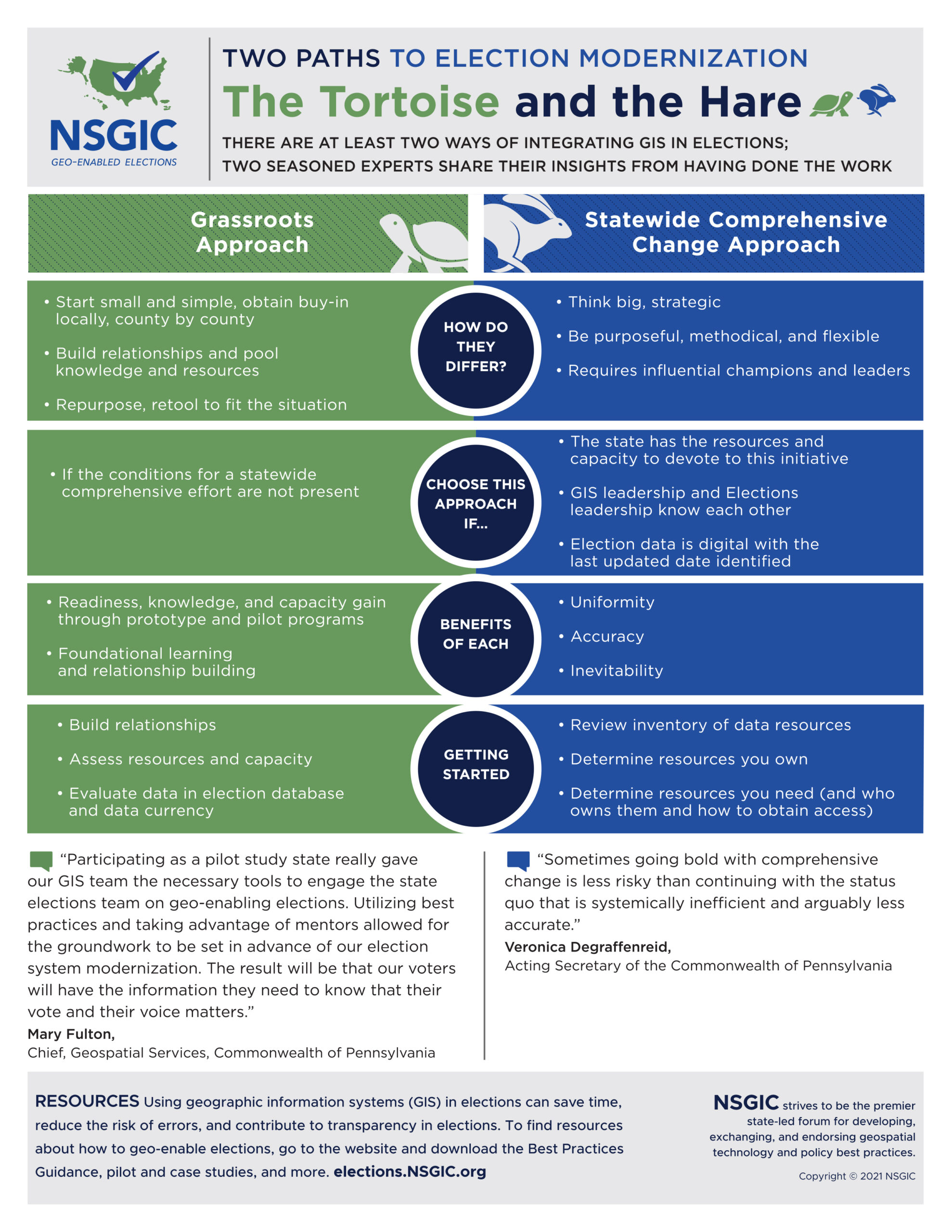
Ready for comprehensive statewide change? Or, would an incremental, from-the-ground-up approach work better? What factors should be considered in the choice, and what are the implications? Meet the Tortoise and the Hare.
Using statutory language to unlock funding and enable election modernization
At least eight states around the country have used statute to enshrine the use of GIS in elections in law. NSGIC worked with election and GIS experts to develop model statutory language intended to serve as a starting point for any state wishing to explore the use of statute to promote election modernization.
The videos below offer insights on enacting statute to geo-enable elections from experts and legislators who have been part of the process:
Ready to invest in a new voter registration system?
Use NSGIC’s sample requests-for-proposals (RFPs) to ensure a new voter registration system will integrate with GIS information for voters and voting district boundaries.


